
Black Balsam Knob via Graveyard Fields

Pisgah National Forest
The Duration: 2 days, 1 night
The Distance: 9.86 miles
The Level of Fun: Type II Fun
Time of Year: October
The Track: Out & back
The Rose: Relaxing in our campsite hammock after a long, strenuous first day.
The Thorn: Killer terrain! Oh, and it didn’t help that Garrett’s backpacking hip strap broke off halfway through the hike.
The Trail Overview
This trail was a real doozy - I can usually get down with steep inclines, but I have never experienced steep inclines with 3-foot steps before. Considering I’m (Kat) only 5’1, these steps were harder for me personally.

The first day was full of these huge steps followed by going through some extremely overgrown bush. The second day only brought more challenges as we had to walk almost 2 miles through a flooded creek bed. It was definitely not ideal.
Try having at least one backpacking trip under your belt before you select this as your trail. It is not going to be a breezy trip with the inclines, but it is still a short distance so you don’t have to fit in a ton of mileage into one day.
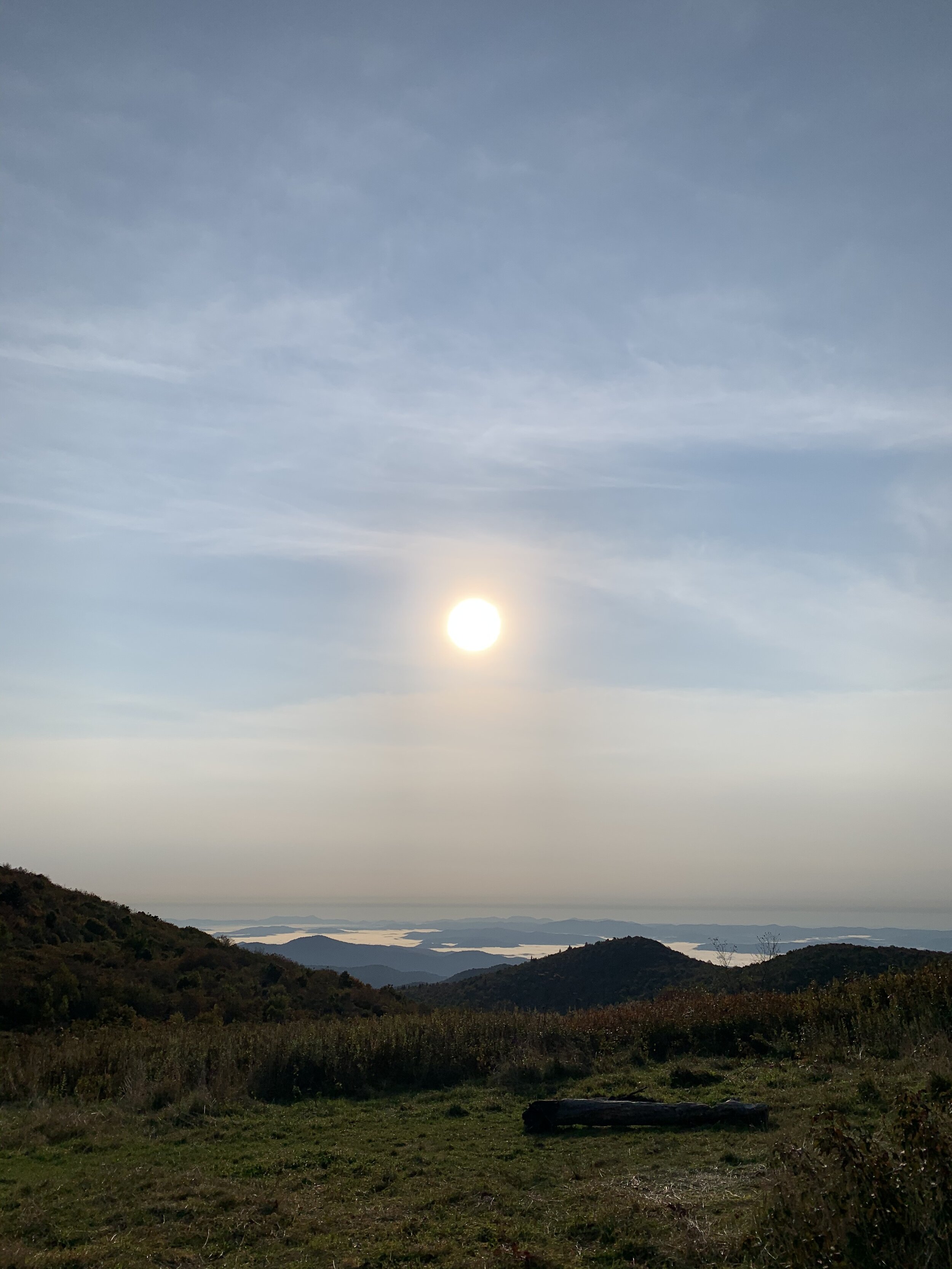
At this point you may be thinking, this trail sounds miserable, I am not going to backpack here. Don’t pass up on this trail just yet! The views were absolutely beautiful, especially in early Fall. The leaves were starting to change and we had clear blue skies. There are alternative ways you can do this hike to make it more enjoyable that we’ll break it down for you below.
Selecting This Trail

Ever since we went to Pisgah National Forest on my first backpacking trip, I’ve always wanted to go back. It is just a 2-hour drive from Charlotte, NC so it is very convenient and doesn’t require a permit in advance.
This trail was a lollipop loop, meaning it’s an out-and-back trail with a small loop. It was around 10 miles that include a couple of balds to see some beautiful views of the Blue Ridge Mountains. This trail sounded perfect for a one-night trip. A great resource to use is ViewRanger, it helped us map out every mile of our hike.
Since you are hiking on part of the Art Loeb trail, you will have plenty of other backpacking options. The Black Balsam area has a number of different mountain balds like Black Balsam Knob, Sam Knob, and Tennent Mountain. Yeah, you will still be dealing with some steep incline, but the views will make up for it 🙃.
If you are looking for some alternate routes in the area:
The Black Balsam Area - another hike/loop options
Shining Rock Wilderness - 8.5-mile hike on the Art Loeb Trail (Kat’s first backpacking trip!)
The Trail
Parking / Leaving Cars:
We parked our car at the Graveyard Fields Overlook. This lot is busy! The Graveyard Fields Loop is an extremely popular trail, so get to the parking lot early to make sure you get a spot.
Where to set up camp:
We camped about a mile past Ivestor Gap. Designated campsites start becoming available after your descent of Tennant Mountain around the 5.6-mile mark. This is National Forest land, so camping is available everywhere except within 500 feet of a road or in areas marked close with signs.
Since the campsites are all pretty close together, there wasn’t a good place we could walk from our campsite to hang our food. We hung our food in a tree at our campsite. We typically don’t like to do this, but this was our best option as a last resort. Hearing “Hey bear. Getaway bear” in the middle of the night from a campsite a couple of hundred yards away did not make us feel any better about our decision.
We read online that some of the water sources can be dried out if there hasn’t been heavy rain so we went ahead and packed 8L of water so we didn’t have to fill up. We would have been fine in retrospect because there were plenty of flowing creeks to fill up water along the trail. Another way to avoid this is just by calling the park ranger to see how the water sources are before your trip.
Day One
From the parking lot, head north on the paved walkway that connects to the Graveyard Fields Loop. Continue forward onto the Graveyard Ridge Connector. Forewarning, this trail can be confusing and is not marked well. Keep a lookout for splitting trails and orange markers indicating Graveyard Ridge Trail. Once you find Graveyard Ridge Trail (at about .8 miles in), you will turn left and follow this until you come to a 4-way junction.
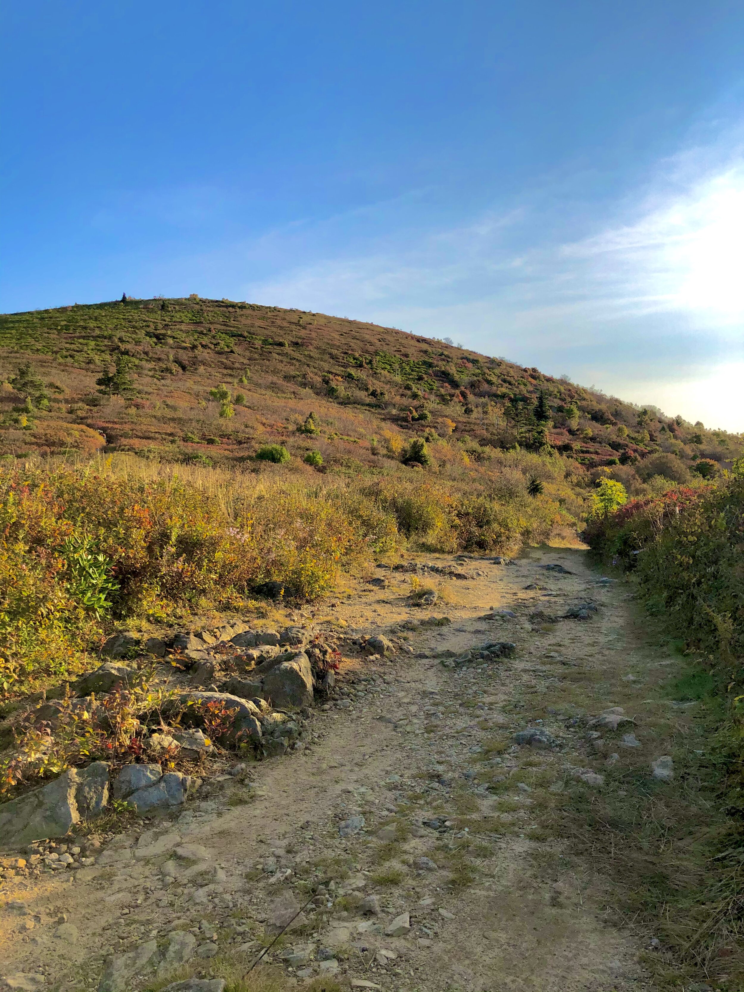
Follow the Mountains-to-Sea Trail (MST) to begin the climb to Black Balsam. There will be a steep incline for a while and the trail is pretty overgrown.
There is a clearing that has some beautiful views which makes for the perfect rest/snack spot. Savor this moment because after this is when the “killer terrain” really kicked in. Next up is a more steep incline and some overgrown bush.


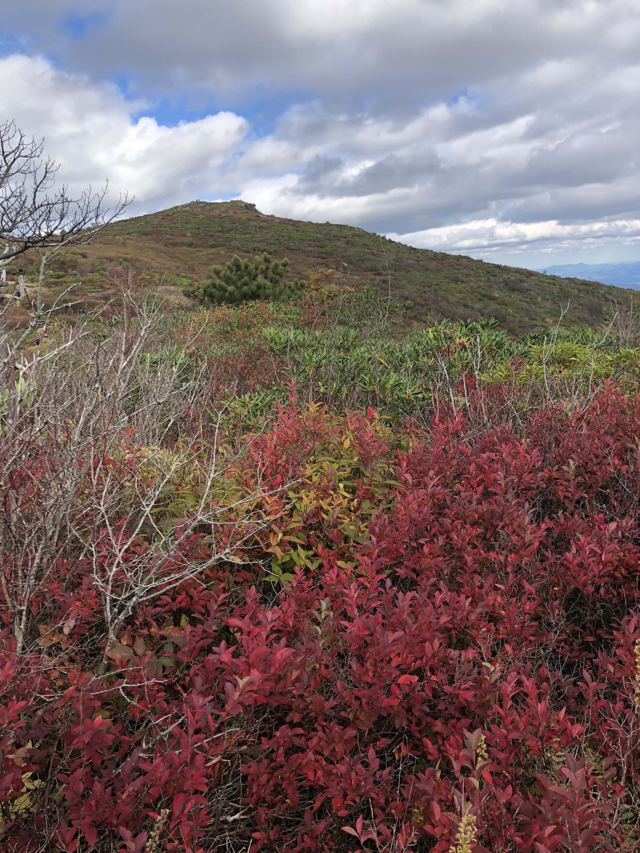
Continue down the rocks to Black Balsam and connect with the Art Loeb Trail. Take in these vast views! You will see panoramic views of the ridge with views of Sam Knob, Little Sam Knob, Fork Ridge, and the Smokies further out.
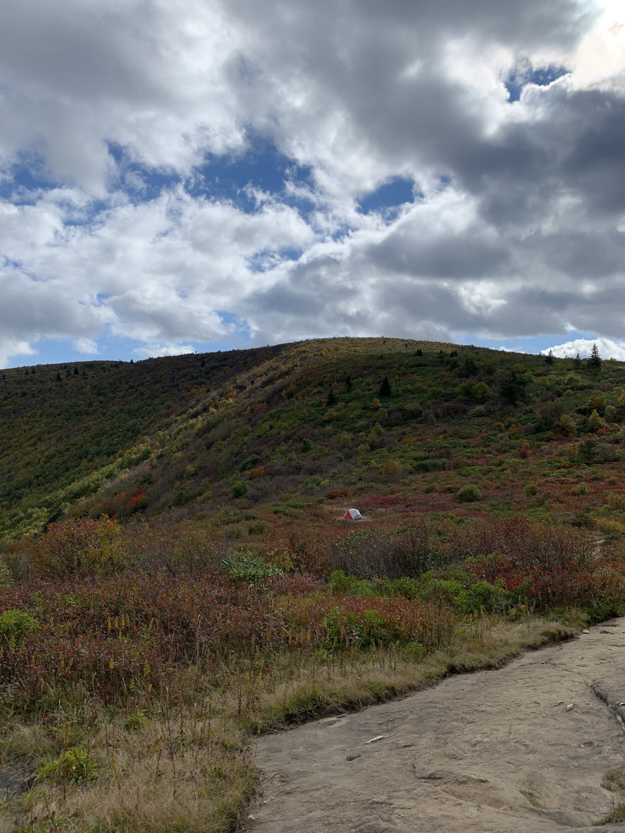
Push forward to hit the peak of Black Balsam Knob (6,124 feet elevation) then another peak of Tennent Mountain. While you are descending Tennant Mountain, you are going to hit some thick foliage again.
Some campsite options open up around the 5.6-mile mark. We got there later in the afternoon, so a lot of the spots were already taken so we pushed forward to Ivestor Gap.
We hiked about half a mile until we found a campsite under the tree line. I was looking forward to sleeping on the bald, but this ended up being a nice and secluded campsite.


Day Two:
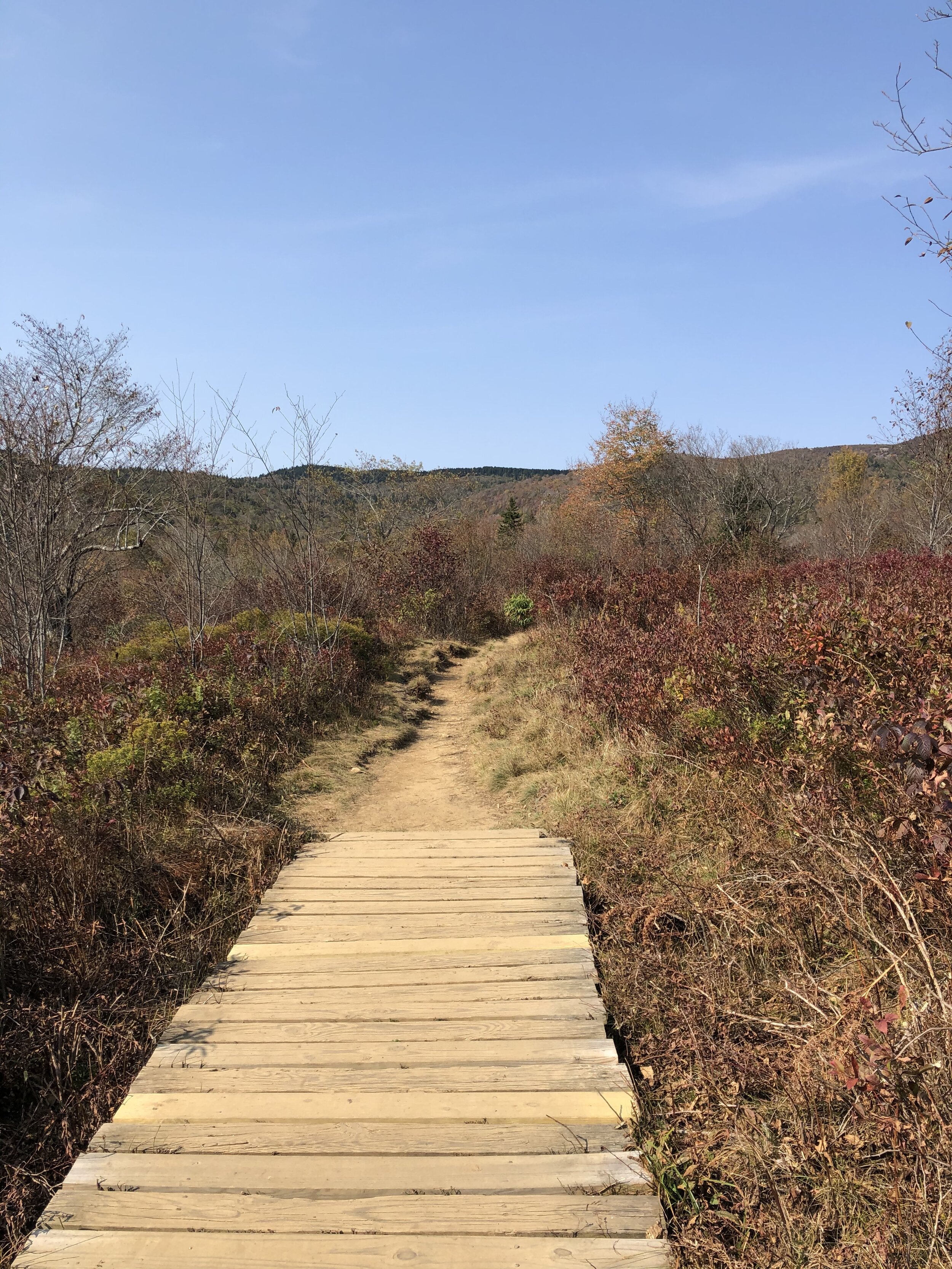
From the campsite, continue forward until you hit Ivestor Gap. Looking south you'll see Tennent Mountain and a sign marking the border of Shining Rock Wilderness. Turn right onto the Graveyard Ridge Trail (there will be a pink trail marker that you will continue to follow)
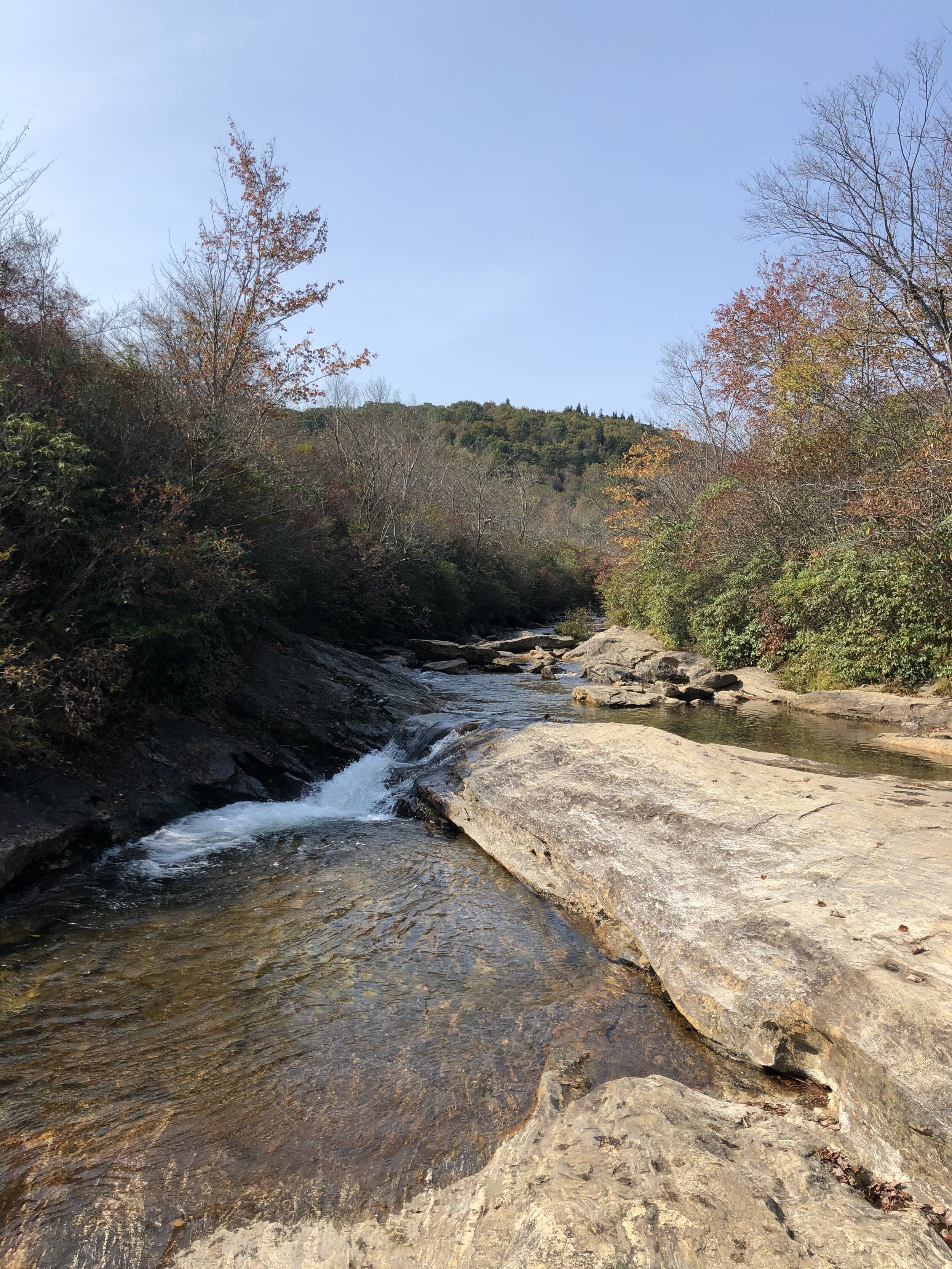
At this point, there are about 4 miles left of your hike, the next 2 miles will be through a creek bed. If it just rained recently, you’ll be walking through a lot of water so make sure you bring your waterproof hiking boot 😄
Need to fill up water bottles? There is a tranquil creek once you hit the 7.5 miles mark.
You’ll hit the 4-way junction point that you were at the day before and from there you just follow the same trail back as the day before (the stick of your lollipop loop 😉).


The Lessons Learned
#73: Buying Cheap. Oh man, poor Garrett, the strap around his waist snapped off right as we were making the steep hike up to the peak of Black Balsam. He bought this pack off Amazon that had good reviews, but only had it for two backpacking trips before it broke. Sometimes it is better to spend more money upfront for quality gear that you know will last to avoid the pains of having to carry the weight of your pack on your shoulders (with bad sunburn - yikes!) for the rest of the trip.
#74: Have an app or map for a backup. Since this trail was extremely overgrown in some places, we found ourselves taking wrong turns left and right. We used ViewRanger to check the waypoints and Google Maps to see where we were in perspective to Ivestor Gap (where we wanted to camp). Always bring something extra to help you navigate for those situations you find yourself off the beaten path. No service is needed to follow the waypoints, but the map is challenging to follow with zero service.

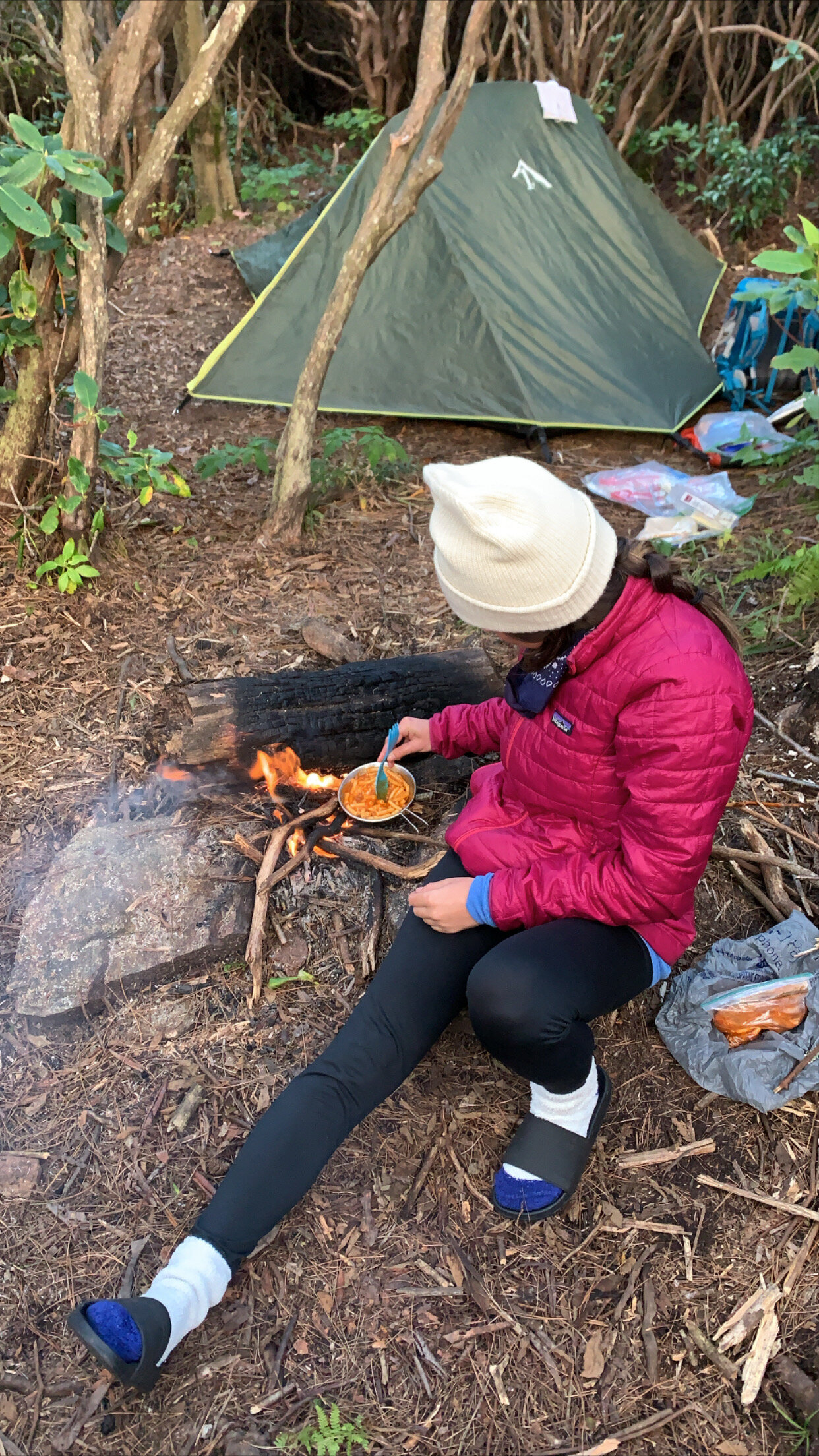
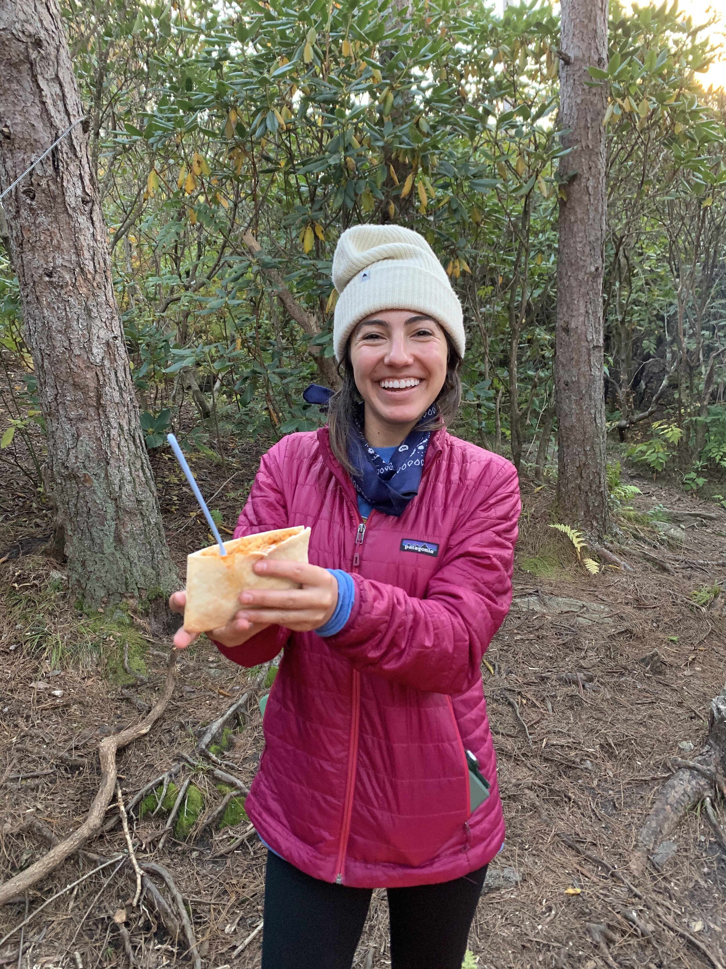
#75: Tortilla bowls. You have heard us mention tortillas are our go-to on all of our backpacking trips, you can have them with every meal and they are easy to pack. Well, have you heard of tortilla bowls?? Because they are even better. They are still packed lightweight AND they are so much easier to eat out of. No mess. Try these on your next trip.
#76: Fires in high altitude. There was an existing fire ring at our campsite that we tried to start a fire in to cook our dinner. This was one of the most difficult fires to get going between the high altitude and the soggy wood. We had to constantly add in pine needles for two hours straight to keep it going.
If you want to start and keep a fire going, here are some tips to help you out:
Collect suitable wood - Look for:
Tinder (dry grass, leaves, pine needs, thin strips of bark) to get the initial fire going.
Gather kindling (small twigs - typically less than one inch around) to help raise the flames
Bigger pieces of firewood consolidate the fire.
Create good airflow - The easiest way to start is with a cone or teepee arrangement. In the center of your fire ring, add in a small cone of kindling with a few handfuls of tinder loosely piled together.
Keep sustained heat - Once the fire gets going, add in larger logs (a few at a time) as needed.
The Perspective from Garrett:

I definitely hit some snags on this trip. I was looking forward to a nice, leisurely 10-mile hike over 2 days with views that would take my breath away. My breath was definitely taken during a few parts of the hike; the steep switchbacks and the claustrophobia-inducing, overgrown trails to name a couple. I’m exaggerating, but it was definitely a tough hike at times!
The incline was challenging and there were sections of the trail so overgrown that I was constantly getting snagged by branches on both sides of my pack. Maybe halfway through it all, my waist strap broke, putting the weight of all of my gear on my shoulders. The kicker? I had one too many cold ones at the beach the week before and got roasted like the Thanksgiving turkey. Having sunburn in this situation was literally the worst-case scenario.
While some of the trail wasn’t picturesque, there were views on this hike that were truly amazing. I love a good challenge, so the cardio and narrow trail were worth the overall experience.
Kat and I enjoy spending time together out in nature, away from work and the hustle of everyday life. I look back on this trip fondly, and I’d consider going again (on a different route). Some really cool things happened, from having a lunch that should’ve been filmed for a movie scene, to a bear-related adrenaline spike in the middle of the night. How many times do you get to hear a neighbor shouting at a bear just a couple of hundred feet away? It was exhilarating.
Sign me up for the next one, Kate and Kat 😄
The Perspective from Kat:

Well, I guess I was due for a Level II trip sooner or later. I have never wanted to get to a campsite more after our first day. Every time I am on a Level II or Level III trip, my mantra stays the same “this is your life now, just keep pushing on.” and eventually, you make it to the end. 😄
The steep incline is well worth the views at the peak of Black Balsam and Ivestors Gap. This trail is heavily trafficked, and you will want to get to your campsite early so you can find a spot. This trail is great for your second or third trip since the mileage is so low and you have designated campsites.
An easy way to prevent all of these mishaps is by calling the park ranger. Kate and I learned how helpful it is to speak to a professional that knows the trail like the back of their hand before a backpacking trip. Yet, it is easy to skip over when you are planning. If we knew about the conditions of the trail, we would have been able to modify our trip and probably had a better experience.
In all fairness as much as we complain about these trips, they bring some of the best memories and the most helpful lessons learned. This trip was no different. We had beautiful views of the Blue Ridge Mountains, the leaves were starting to change colors, and a cozy campsite with a fire.
If I were to hike this trail again, I would cut out Graveyard Fields and stay on the Art Loeb Trail. Graveyard Fields Trail currently is overgrown, and there aren’t many great views, so by skipping this section you won’t miss much. By staying in the Black Balsam area, you will hike over several mountain balds, and you should have a more enjoyable experience.
NEED TO START BACK AT THE BASICS?
Check out our Getting Started page for everything you need to know to hit the trail!
HAVE SPECIFIC QUESTIONS ABOUT THIS TRAIL?
Message us in the comments below!